Boundary Surveying – Lost Dimensions
Lost dimensions – going through the process to reinstate boundaries

Lost dimensions – going through the process to reinstate boundaries
Sunrise Estate is a Staged 75 Lot subdivision in Armidale – CSM was involved in construction, work as executed surveys and boundary registration
Croft Surveying and Mapping utilized a combination of UAV drone mapping, cadastral surveys, and detailed field surveying.
From boundary identification and construction setout,
through to Strata Subdivision and Registration
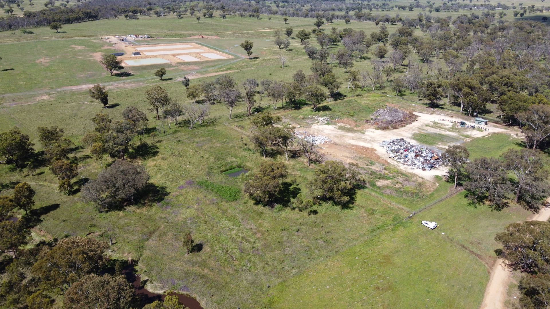
A combination of UAV drone mapping, cadastral surveys, and detailed field surveying onground, to assist in determining volumes and site management.
Wybenia Estate is a Staged 48 Lot subdivision in Armidale – CSM was involved in the original site survey, flood model analysis, subsequent engineering designs, machine control, and work as executed surveys.
Six Lot Environmentally Sensitive subdivision. Croft Surveying and Mapping was involved in Council negotiations and implementation to establish building envelopes, tree preservation and covenants for the site to reflect the environmentally sensitive elements of the site.
Croft Surveying and Mapping partner with specialist UAV pilots to create remote mapping solutions for clients. Point cloud data allows 3D modelling of a site, and combines with ground survey and boundary details to offer a complete package for any project.
GIS and Mapping solutions. Croft Surveying and Mapping offers a range of mapping solutions including:Contour modelling prior to construction – New England Girls School ARMIDALE, Large scale 3D modelling, Farm Mapping – Paddocks, water pipes, troughs, and access – ‘Bareena’ Salisbury Plains URALLA
Croft Surveying and Mapping is able to assist in the establishment of “on-farm” family cemeteries, providing ongoing access to future generations, even if the farm is sold. This includes relevant negotiations with Council and Land Registry Services to best represent the family’s wishes.