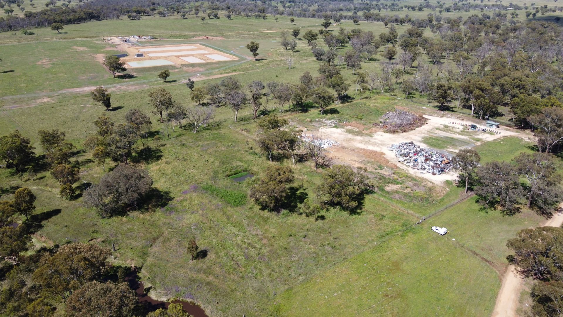
Integrated UAV Mapping and Boundary Survey Project – Uralla
Croft Surveying and Mapping utilized a combination of UAV drone mapping, cadastral surveys, and detailed field surveying.
A combination of UAV drone mapping, cadastral surveys, and detailed field surveying onground, to assist in determining volumes and site management.
Croft Surveying and Mapping partner with specialist UAV pilots to create remote mapping solutions for clients. Point cloud data allows 3D modelling of a site, and combines with ground survey and boundary details to offer a complete package for any project.
GIS and Mapping solutions. Croft Surveying and Mapping offers a range of mapping solutions including:Contour modelling prior to construction – New England Girls School ARMIDALE, Large scale 3D modelling, Farm Mapping – Paddocks, water pipes, troughs, and access – ‘Bareena’ Salisbury Plains URALLA